


Geography
“I wish the world was twice as big- and half of it was still unexplored” (Sir David Attenborough)
Vision Statement
At Broadoak Primary School, we strive to provide opportunities which will inspire in all pupils a curiosity and fascination about the world and its people that will remain with them for the rest of their lives.
Our teaching of geography equips children with knowledge about diverse places, people, resources and natural and human environments. Children gain a deep understanding of the Earth’s key physical and human processes, and as they progress with their growing knowledge of the world, they deepen their understanding of the interaction between these processes and of the formation and use of landscapes and environments. Our study of geographical knowledge, understanding and skills provide the frameworks and approaches that explain how the Earth’s features at different scales are shaped, interconnected, and change over time.
As an Eco School, we support children across all key stages in developing their environmental awareness. We embed the teaching of different aspects of sustainability and what it means to be a ‘Global Citizen’ across our curriculum. This enables children at Broadoak to gain a deep understanding and appreciation of how they can help to make a difference in their school as well as their wider community.
Aims and Objectives
Through our Geography teaching in all key stages, we ensure that pupils develop memorable geographical knowledge and skills which are built up on each year of the child’s learning journey and forms a key part of their ‘Broadoak Backpack for Life’:
- Gain a knowledge and understanding of places in the world and build contextual knowledge of the location of globally significant places – both terrestrial and marine
- Can define key physical and human characteristics and how these provide a geographical context for understanding the actions of processes
- Understand the processes that give rise to key physical and human geographical features of the world including how these are interdependent and how they bring about spatial variation and change over time
- Are provided with a range of fieldwork experiences that deepen their understanding of geographical processes that enable them to collect, analyse and communicate information derived from their first-hand experiences
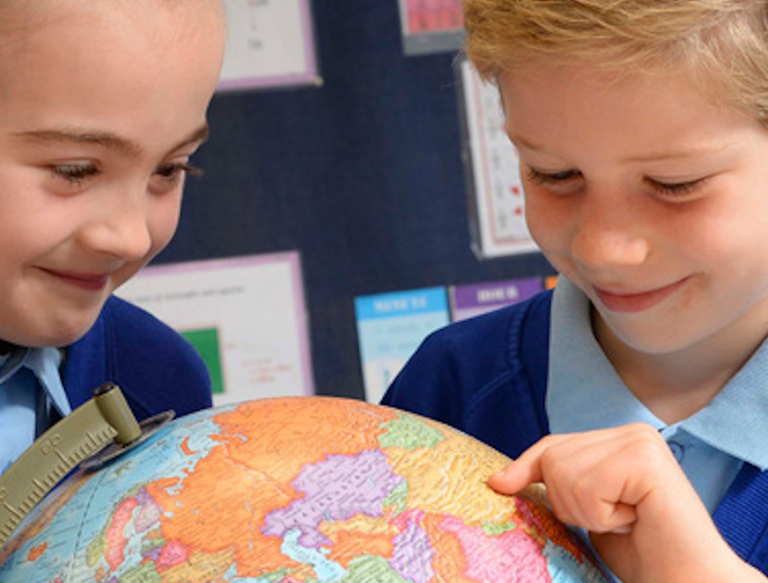
- Are competent in interpreting a range of sources of geographical information, including maps, diagrams, globes, aerial photographs and Geographical Information Systems (GIS)
- Develop a variety of other skills, including those of enquiry and problem solving and support children presenting geographical information in a variety of ways, including through maps, numerical and quantitative skills and writing at length
- Are empowered in becoming positive citizens in a multi-cultural society, through their deep understanding of other cultures and their understanding of the importance of respect and equality
- Recognise the importance of sustainable development for the future of mankind
- Gain a knowledge of environmental problems at a local, regional, and global level
- Understand the actions that be taken to help tackle environmental issues around the world.
In order to achieve our aims, we provide:
- High quality teaching and learning which enables all children to succeed and achieve
- An interesting learning environment in which children feel safe and secure
- Opportunities for children to be actively involved and engaged in their own learning, through creative approaches to learning with strong curriculum links to other subjects when appropriate
- Opportunities to promote independence
- Evaluations of children’s progress towards the Early Learning Goals and National Curriculum guidelines which inform planning at all stages
- Effective monitoring of teaching and learning.
- Evaluations of children’s progress towards the Early Learning Goals and National Curriculum guidelines which inform planning at all stages
- Effective monitoring of teaching and learning.
Broadoak Primary School Geography |
||
| Intent | Implementation | Impact |
| What will take place before teaching in the classroom? | What will this look like in the classroom? | How will this be measured |
| The school’s senior leadership team will: | Our teaching sequence will be: | Pupil Voice will show: |
|
==
|
|
|
| The Curriculum Leader will: | Our classrooms will: | Displays around school / books will show: |
|
|
|
|
| The class teacher will, with support from the curriculum leader: | Our children will / will be: | The curriculum leader will: |
|
|
|
|
|
xx Children will leave us with a Backpack of knowledge, skills and understanding as detailed below: |
|
 |
xx In their Broadoak Backpack for Life, an accomplished Geographer will…x |
|
|
|
Geography in Early Years
Children begin their Geography journey in EYFS by developing their understanding that there are some similarities and differences between life in this country and life in other countries.
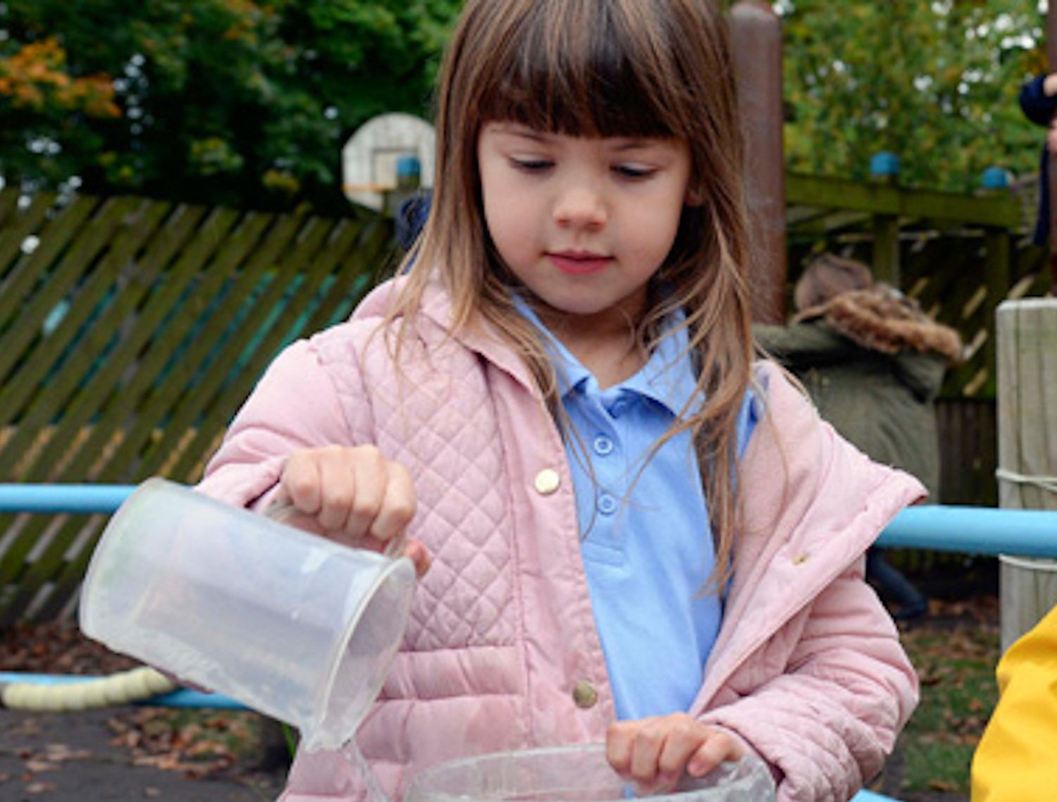
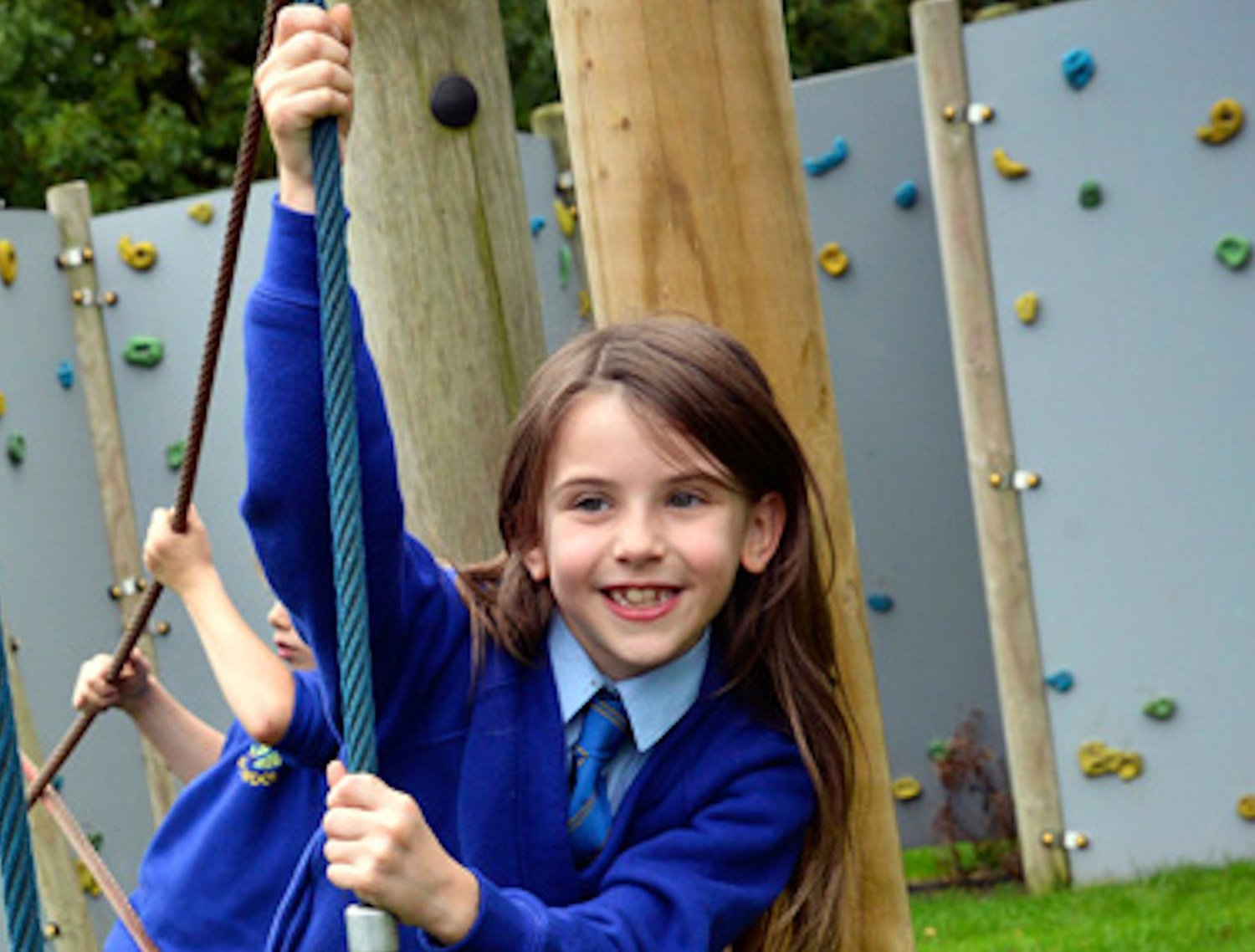
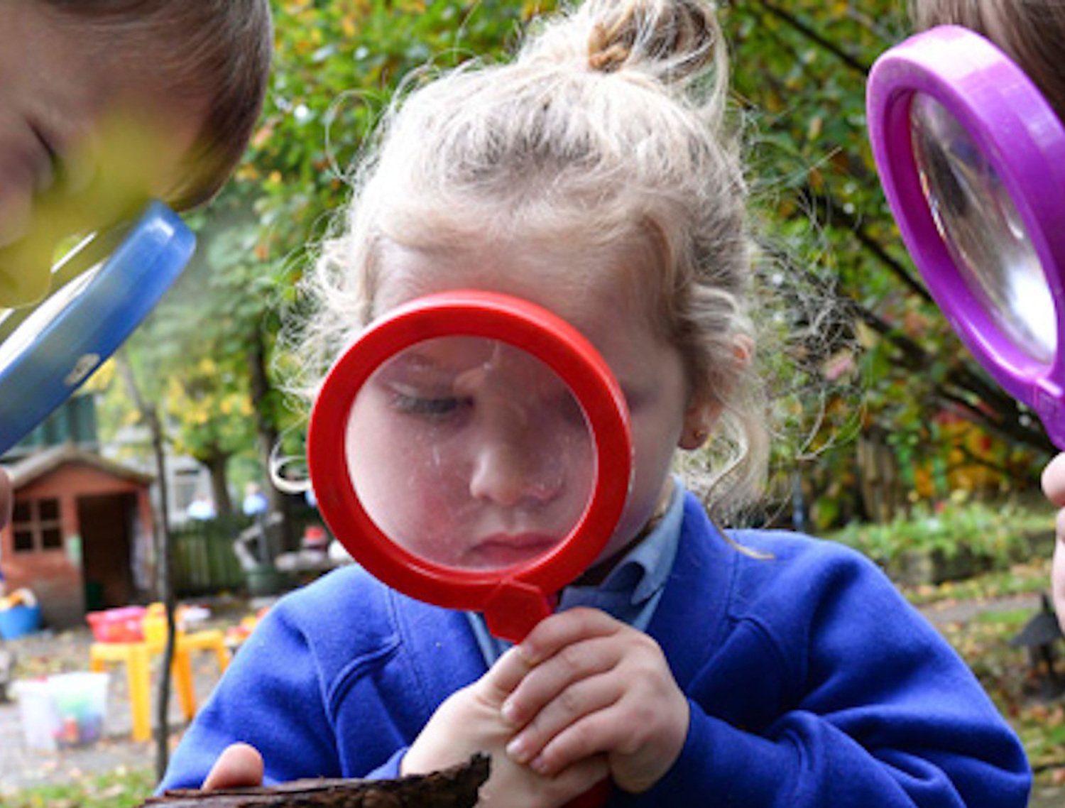
Early field work foundations are made in Early years through exploration of the school grounds.
Geography in Key Stage One
In KS1, children build on this as they learn more about their locality (Worsley and Salford), The UK (4 countries, capital cities and surrounding seas) and the wider world.
During their time in Year One and Two, children expand on their knowledge of the wider world by learning about the human and physical geography of Antarctica, Africa, Australia (The Great Barrier Reef) and India. As children progress through KS1, they also develop their subject specific vocabulary to refer to human and physical features as well as their geographical skills, including first-hand observation.
Simple field work and observational skills to study the geograpgy of the school, ourgrounds and the surrounding local environment features within teh curriculum.
Geography in Key Stage Two
In KS2, children extend their knowledge and understanding beyond the local area to include the United Kingdom (London, The Lake District and Wales), Europe (Spain) and North and South America (Florida, USA and Brazil). Pupils gain a deep understanding of a range of the world’s most significant human and physical features. They will also develop their use of geographical knowledge, understanding and skills to enhance their locational and place knowledge.
In field work, the children use maps, atlases, globes and digital mapping to locate countires and describe features studied.
They will use eight points of a compass, four and six-figure grid references, symbols and keys (including teh use of Ornnance Survey maps) to build their knowledge of the United Kingdom and wider world.
Whole School Geography Curriculum Overview
|
** Whole School Geography Curriculum Overview |
** Autumn ** |
Spring | Summer |
| Nursery |
The children will talk about what they see in the school environment. |
The children will learn that there are different countries in the world and talk about the differences they have experienced or seen in photos. |
The children will learn that some places are hot and some are cold. They will create basics maps linked to the school environment and imaginative maps linked to stories and settings. |
| Reception | During the Autumn term, they children will explore the school grounds and environment, noting what is built and what is natural. They will draw information from a simple map. | They will look at aerial views of the school setting. Describe features using geographical vocabulary such as roads, trees, shop, homes, school. They will explore a map of the UK, identify England, Manchester and Swinton. · | The children will recognise some similarities and differences between life in this country and life in other countries by using secondary sources |
| Subject Focus |
** Where is the lonely beast? |
** Why don't penguins need to fly? |
** Why have we always loved to go to the seaside? |
|
Year 1
|
This unit builds upon the simple fieldwork and observational skills introduced in Reception. During this unit, the children will develop their knowledge and understanding of their local area and they will become increasingly more familiar with using maps. |
** This unit develops children’s knowledge and understanding of hot and cold areas of the world- they learn about their position (in relation to the equator) and how this can impact upon the human and physical features of Antarctica and Africa. Children will also begin to understand how animals adapt to suit the environment in which they live – the more extreme the environment, the more specialised the adaptation. |
** This unit aims to develop children’s understanding of seasonal and daily weather patterns in the UK. Children will also explore the human and physical features of the seaside and they will develop their skills for locating places studied in this year group (the UK and its countries, Europe, Antarctica, Africa). |
|
National Curriculum Objectives:
** |
National Curriculum Objective:
|
National Curriculum Objective:
|
|
| Subject Focus |
** How and why is my local area changing? |
** What is so great about the Great Barrier Reef? |
** How does the geography of a small area in India compare to my local area? |
|
Year 2
|
The children will combine information gained through their visit to Salford Quays and photographs (including aerial photographs) to observe and identify the human and physical features of Salford and compare these with where they live. The children will develop their mapping skills; they will learn to use compass directions and they will practise creating their own, simple maps of a town. They will also develop their skills in being able to name, locate and identify characteristics of the 4 countries of the UK, capital cities and surrounding seas. |
This unit aims to build upon the children’s knowledge of the world’s continents. The children also develop their skills for locating these continents as well as the world’s oceans. During this unit, the children will gain detailed understanding of the world’s oceans as well as the relationship between human activity and world’s oceans. They will strengthen their understanding of Geography as the study between people and places through the study of ocean conservation. |
The children will name and locate the seven continents and five oceans of the world using a world map, globe and an atlas. They will locate India and understand why India is a hot area in the world. They will identify human and physical features and make comparisons with their local area.
** |
|
National Curriculum Objective:
|
National Curriculum Objective:
|
National Curriculum Objective:
. |
|
| Subject Focus |
** What makes the Earth angry? |
Why do so many people go to Spain on their holiday? |
** Beyond the Magic Kingdom: North America |
|
Year 3
|
This unit introduces the children to some key aspects of physical geography, in particular one of the major outcomes of tectonic activity in the world – earthquakes. Some work is also focused on volcanic activity, which is developed at greater depth at Upper Key Stage 2. Children learn about the predictability of earthquakes and volcano eruptions including the role of science and technology for these predictions. The children will expand their locational knowledge, learning to locate some countries that affected by earthquakes and volcanic eruptions. |
*This unit builds upon children’s locational knowledge as they learn to locate Spain (and its neighbouring countries) on a map. The children will explore different types of settlements and land use in Spain and compare the geographical similarities and differences of this country with some of the places they have studied in Key Stage 1. The children will be introduced to using grid references (beginning with letters and numbers) and they will also build upon their skills for using a compass, an atlas and aerial photographs ** |
The children will explore North American country and states. They will explore tourism as the major industry and driver of Florida’s economy. Explore the land use (amusement parks) and discuss how climate also makes Florida a popular destination for beach holidays and the relevance of Florida being a peninsula. They will discuss impact of tourism on animals such as turtles and consider the positives and negatives of living in Florida. |
|
National Curriculum Objective:
|
National Curriculum Objective:
|
National Curriculum Objective:
|
|
| Subject Focus |
** What are the many wonders of Egypt? |
** How can eating and buying chocolate be unfair? |
** How are canals and rivers formed? |
|
Year 4 |
The children will learn about climate zones and biomes. They will begin to use a wider range of maps, including maps that explore the topography of the UK and Egypt. Whilst learning about the many wonders of Egypt, the children will also develop their geographical skills for locating features on maps using 4 figure grid references. |
This unit enables pupils to understand what international trade entails – with a focus on chocolate. Children will look at where cocoa is produced in the world and the climate conditions that are necessary to grow cacao trees. They will look at the impact that climate change is having on cocoa production as well the impact that cocoa production and its trade is having on the environment. They will learn about the importance of fair trade. |
** The children will learn about the features of a river system, discuss and describe the different uses for water and explore the history, features and uses of canals linked to the local area/ local human geography. ** |
|
National Curriculum Objective:
|
National Curriculum Objective:
|
National Curriculum Objective:
|
|
| Subject Focus |
** Why should the rainforests be important to us all? |
** Why is London a cool place to live? |
** What is the difference between hills, mountains and volcanoes? |
|
Year 5
|
This children will learn about the tropical rainforests of the world, focusing on The Amazon Rainforest. They will develop their understanding of how important rainforests are to the plant and animal life within them as well as the wider world. The children will also learn about the damaging effects of deforestation, why this occurs, and the different ways people can help protect and preserve the rainforests of world. |
** This unit builds upon pupils’ learning locational knowledge of the UK, Europe and North America. The children also gain a more detailed knowledge and understanding of London, exploring the human and physical features of this city and the advantages and disadvantages of living in this densely populated city. During this unit, the children also build upon their skills for reading and interpreting maps, learning how to use scale bar and how to use 6 figure grid references.. ** |
The children will explore similarities and differences between hills, mountains and volcanoes. They will learn about the features of a mountain and locate various UK mountain ranges and well known mountain ranges throughout the world. They will begin to explore relief and contour lines to identify high and low ground. |
|
National Curriculum Objective:
|
National Curriculum Objective:
|
National Curriculum Objective:
|
|
| Subject Focus |
** What is so brilliant about Brazil? |
** What is so glorious about the land we call home? |
Why do coasts crumble? |
|
Year 6
|
The children will learn about Brazil. They will identify the countries that border Brazil as well as those that do not (Chile and Equador), and they will learn about the main cities of Brazil and some of the significant cities of South America more widely. They will develop their understanding of human and physical similarities between places in the world by comparing a city in Brazil with a city in the UK. They will also learn about the rich culture and tourism of Brazil and the economic trade of this country. |
In this unit, the children will explore the topographical, physical and human feature of the UK. They will develop their map reading skills to identify the ways topography can be presented via shading and contour lines as well as reading OS maps and using 4 and 6 figure grid references. |
**
The children will explore what a coast is. Where they can be found in the UK and key physical features of coasts and coastal land forms and how these change over time. They will learn about the different types of erosion which impacts and changes coasts overtime. If I want to be a flood and coastal erosion risk manager or a career with the environment agency/coastal conservation or a career in maritime related roles. ** |
|
National Curriculum Objective:
|
National Curriculum Objective:
|
National Curriculum Objective:
|
Useful Websites
Geography Primary Resources | National Geographic Kids (natgeokids.com)
Geography at primary school | Oxford Owl
Home - Eco Schools (eco-schools.org.uk)
Geography for Kids. World maps and countries. (ducksters.com)
geography - Kids | Britannica Kids | Homework Help
World Geography Games Online - Let's play and learn Geography! (world-geography-games.com)
Useful Documents
Nursery Key Learning Vocabulary and Concepts
Reception Key Learning, Vocabulary and Concepts
Year 1 Key Learning, Vocabulary and Concepts
Year 2 Key Learning, Vocabulary and Concepts
Year 3 Key Learning, Vocabulary and Concepts
Year 4 Key Learning, Vocabulary and Concepts
Year 5 Key Learning, Vocabulary and Concepts
Year 6 Key Learning, Vocabulary and Concepts
Significant Individuals - Geography
Educational Visits - Geography
British Values and Personal Development in Geography